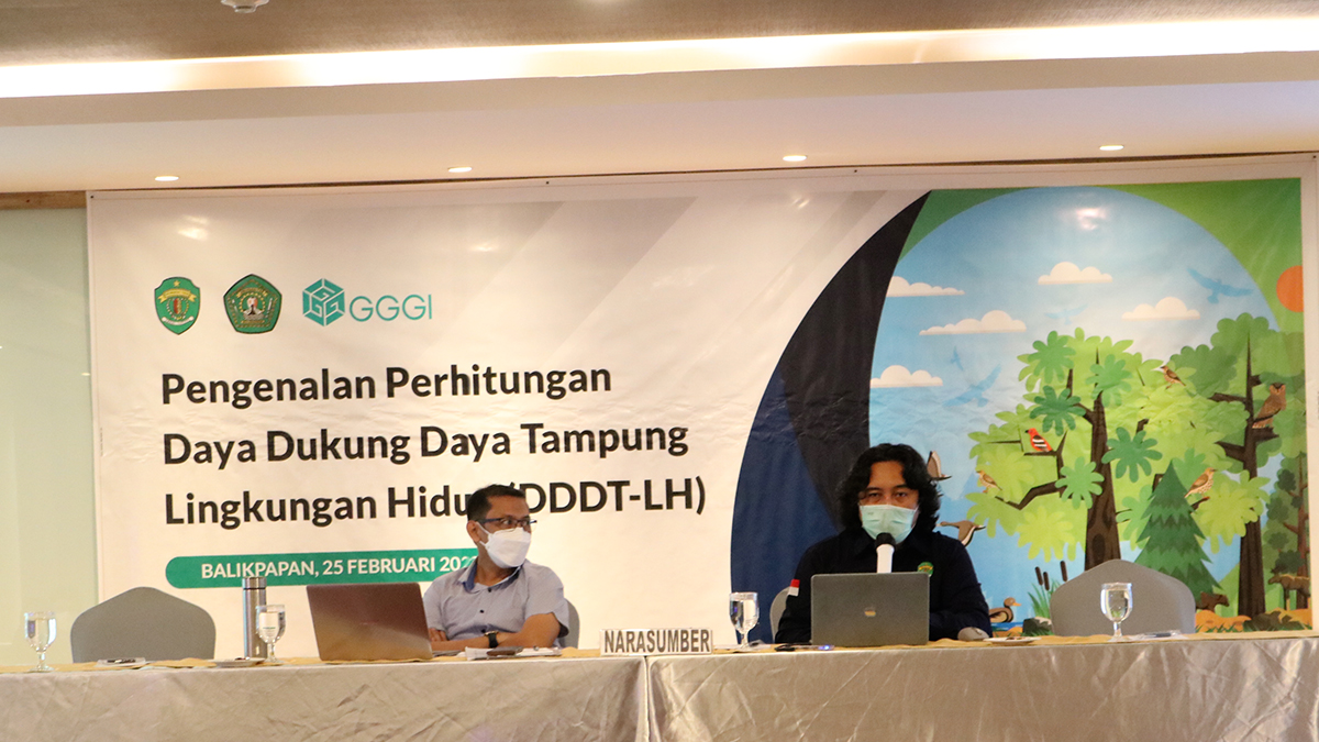
The Regional Basic Geographic Information System Training and Introduction to Environmental Carrying Capacity Calculations for Development Planners in East Kalimantan
One of the Strategic Environmental Assessment (SEA) capacities is the environmental carrying capacity (DDDT-LH) for development. The DDDT-LH document is essential in planning and utilizing natural resources to achieve sustainable development in an area. The ecosystem services assessment is an approach to assessing the environmental carrying capacity. Thus, applying Geographic Information Systems (GIS) to measure ecosystem services is important for regional development planning to achieve the Sustainable Development Goals (SDGs).
Therefore, the East Kalimantan Provincial Government, in collaboration with the Research Institute for Geospatial Information Infrastructure Development Center (PPIIG) of Mulawarman University, supported by GGGI, conducted a Regional Basic Geographic Information System Training and Introduction to the Environmental Carrying Capacity Calculation on February 22-25, 2022, in Balikpapan, East Kalimantan.
About 30 regional development planners within the provincial/district/city government in East Kalimantan were provided with basic knowledge of GIS to increase human resource capacity in spatial data analysis and processing in preparation of DDDT-LH. This knowledge is vital for preparing the SEA document and the Environmental Protection and Management Plan.
See Other News
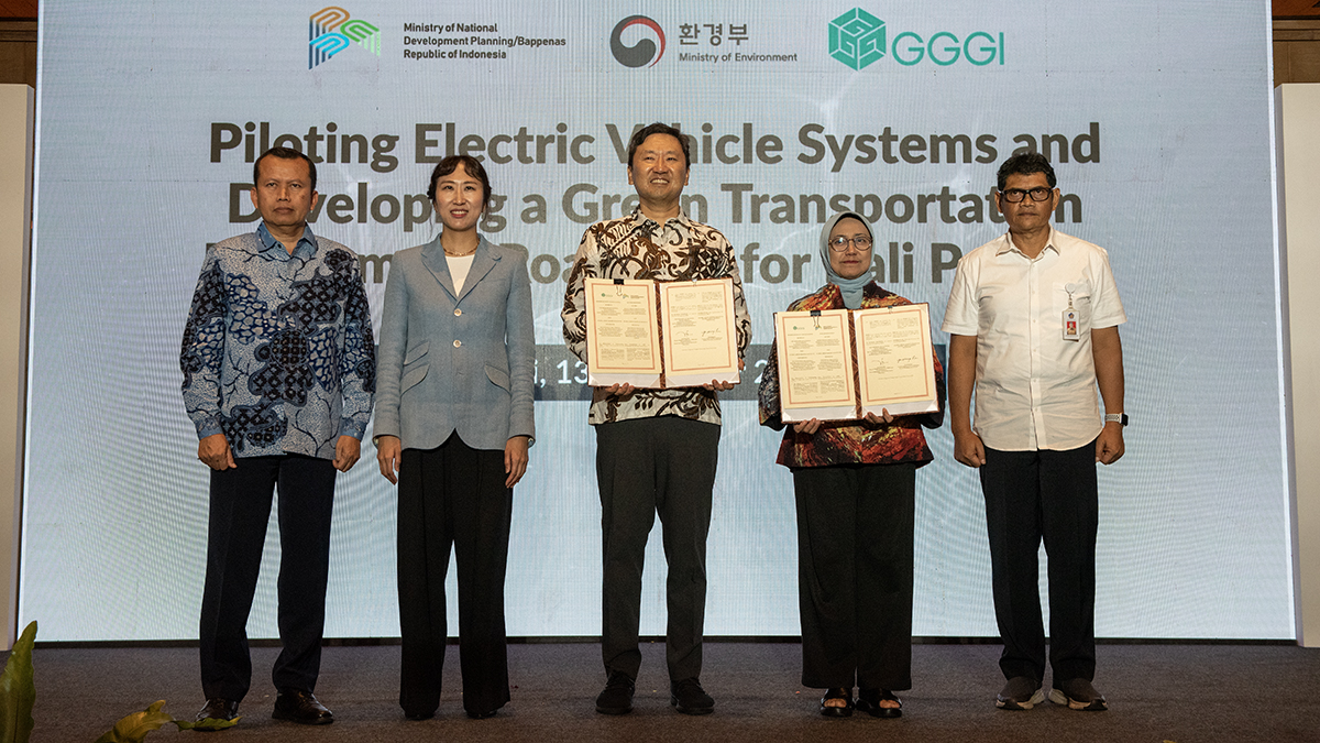
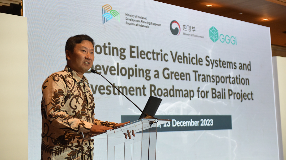
Indonesia and Korea Join Forces to Develop E-Bus Public Transportation System in Bali
Indonesia and Korea have joined forces to develop an electric bus (e-bus) ecosystem in Bali in a sig...
GGGI Indonesia enters a new phase with the arrival of new leadership. Read more

Recognizing the pressing need to counteract climate change, Indonesia has taken a decisive step with...